Mapping the Holy Land II
Cartographic Treasures from the Trevor and Susan Chinn Collection
-
 October 8 2013 - March 2 2014
 Curator: Ariel Tishby
-

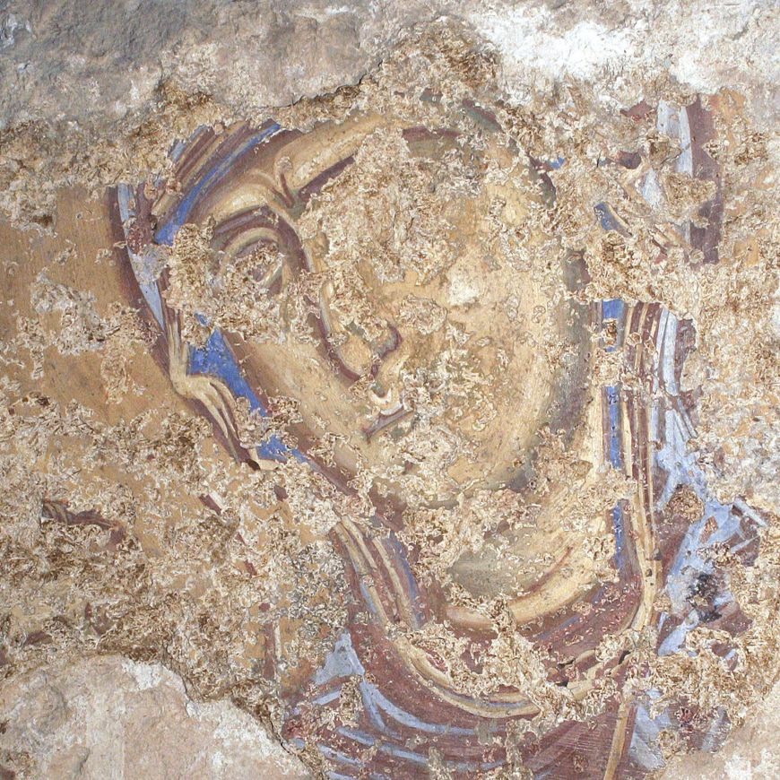
 ancient maps
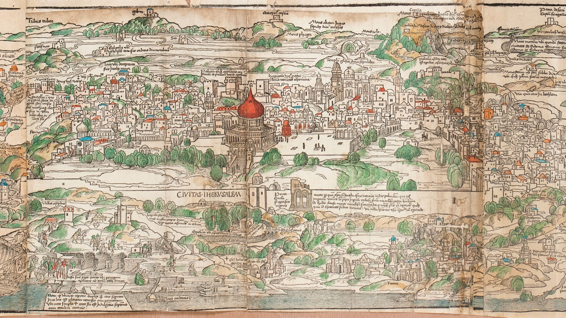
The centerpiece of this display is Bernhard von Breydenbach’s seminal 1486 map of the Holy Land. One of the first printed maps, it was created from three woodblocks by the Dutch artist Erhard Reuwich. Breydenbach, a priest and nobleman from Mainz, embarked on a pilgrimage to the Holy Land in April 1483, returning to Germany in January 1484. He was accompanied by a large entourage, including Reuwich, who was asked to draw the sights. The pilgrims visited Jerusalem and its vicinity, focusing on Christian holy sites, with a smaller delegation continuing to the Saint Catherine Monastery in Sinai. Upon returning to Mainz, the travelers began to compile a manuscript documenting their journey. Published in Latin in 1486 and soon translated into several languages, it was the first printed illustrated work to feature an accurate map of the Holy Land and quickly became a bestseller, largely owing to the included woodcuts. The Breydenbach map shows the area from Damascus and Beirut in the North to Alexandria and Mecca in the South. At the center, rotated 180 degrees, Jerusalem is depicted on a large scale and in unprecedented detail. Oriented to the east, the map thus provides a bird’s-eye view of Mamluk Jerusalem from the Mount of Olives looking west. Christian holy sites are emphasized and accompanied by a caption, while small crosses indicate those places in which one could be granted an indulgence - a temporary release from the punishment of sin. Merging the journey to earthly Jerusalem with the journey to heavenly Jerusalem, the map conveys the true purpose of a pilgrimage: walking in Jesus’ physical and spiritual footsteps as a means of purifying the soul. The manuscript and its illustrations offered European Christians the means of experiencing a voyage too expensive, difficult, and dangerous for most to undertake. The six other maps on view here provide evidence that many cartographers who had never visited the Holy Land relied on original “prototypes,” often combining elements from more than one map. Du Perac and van Schoel misunderstood the inverted orientation of Jerusalem in the Breydenbach map, presenting their own maps as oriented eastward and copying Breydenbach’s positioning of the Mount of Olives to the south (left) of Jerusalem. Several cartographers also ignored the rebuilding of the walls of Jerusalem in 1537-42, copying instead the breached walls and partially destroyed Golden Gate until the 18th century. In this special display, visitors are invited to spot the differences between the 1486 prototypical map and those it influenced over the course of two hundred years.


 May 14May 18May 25May 28Jun 01Jun 04Jun 10Jun 11Jun 15Jun 17Jun 18Jun 22Jun 24Jun 25Jun 29
 May 18May 25Jun 01Jun 10Jun 15Jun 17Jun 22Jun 24Jun 29
 May 18May 25May 28Jun 01Jun 04Jun 10Jun 11Jun 15Jun 17Jun 18Jun 22Jun 24Jun 25Jun 29
 Jun 15Jun 22Jun 29
 Jun 09Jun 16Jun 23Jun 30
 May 15May 16May 19May 21May 23May 26May 29May 30Jun 02Jun 05Jun 06Jun 09Jun 12Jun 13Jun 16Jun 19Jun 20Jun 23Jun 26Jun 27Jun 30
- Jun 09Jun 16Jun 23Jun 30
 May 21May 28Jun 04Jun 11Jun 18Jun 25
- May 21May 28Jun 04Jun 11Jun 18Jun 25
- May 21May 28Jun 04Jun 11Jun 18Jun 25
 May 28Jun 04Jun 11Jun 18Jun 25