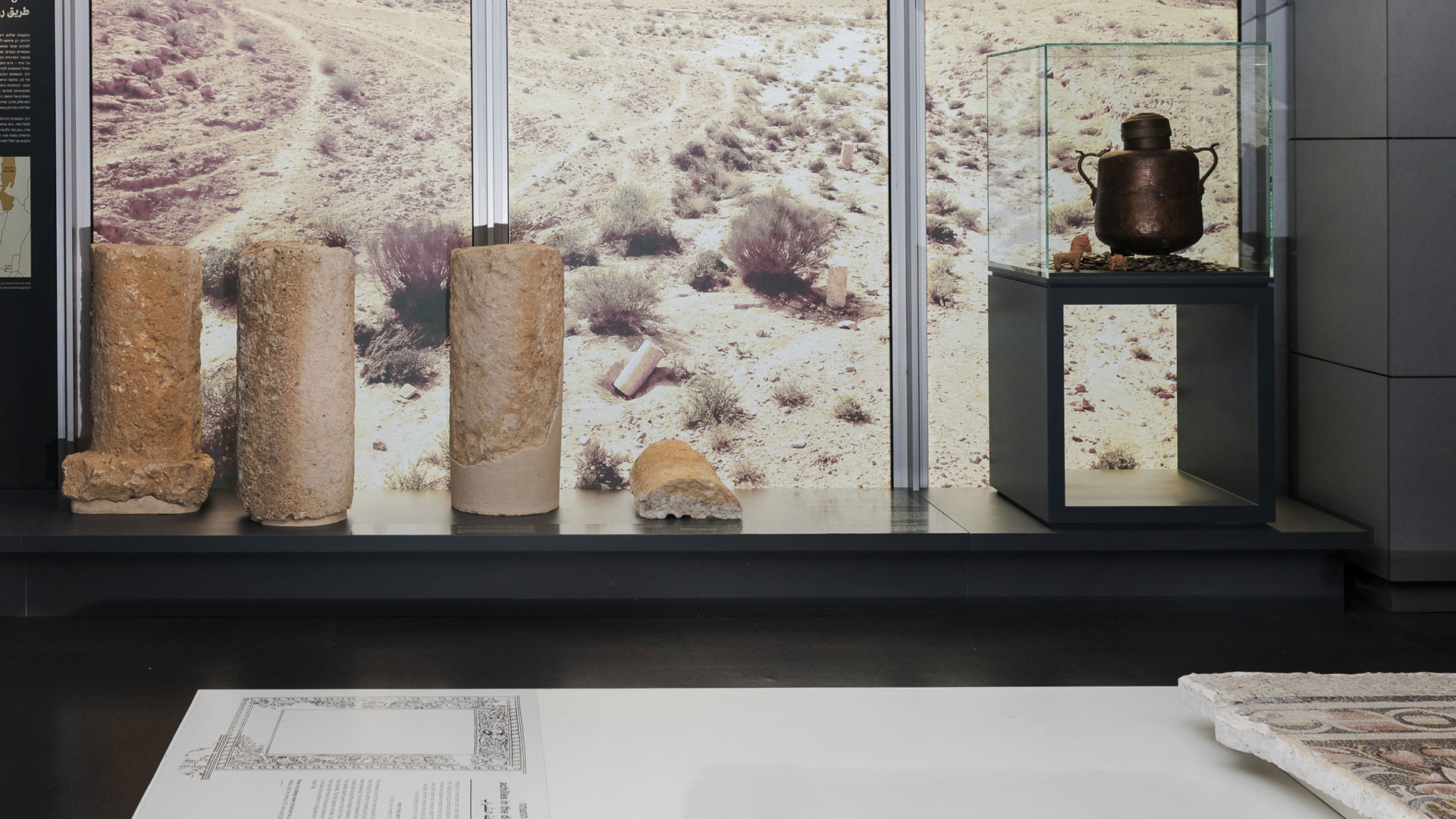
Special Display: A New Roman Road in the Negev
-
 August 1 2022
 Curators: Dudi Mevorah and Rachel Caine Kreinin
-
Designers: Kamea Devons and Michal Aldor
-
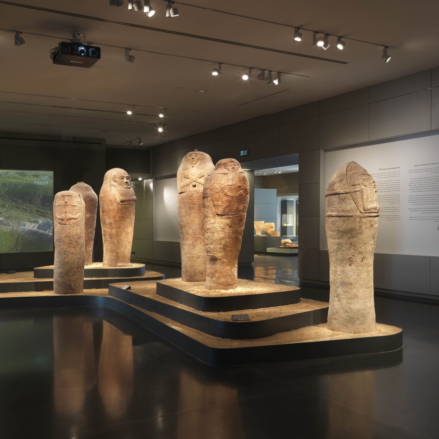
 Roman Gallery, Bronfman Archaeology Wing
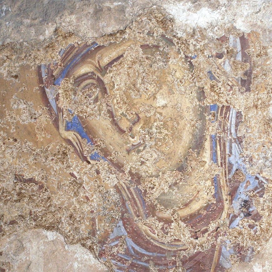
Dozens of roads running the length and breadth of the land were built during the period of Roman rule. They were used for moving Roman military troops, for transporting mail and goods, by the local administration, and by the general public. The roads were marked by milestones shaped like small columns, which were erected along the roads at regular distances and were used to indicate the distance from the nearest major city. The inscriptions on them – engraved in stone or painted on plaster – included, in addition to distances, the names of those who ruled at the time the stones were erected.
The milestones exhibited here were discovered in 2018 in the course of a survey of the Nabatean Spice Route. The study revealed a previously unknown seven-kilometer segment of the route, as well as the first decipherable Spice Route milestone inscriptions from the Negev. The bilingual Greek and Latin inscriptions mention the Roman emperors Pertinax and Septimius Severus, as well as the governors of the province of Arabia at the time – indicating that the stones were erected during the last decade of the 2nd century CE.
The new segment of road that was discovered, from Mezad Mahmal to Mezad Grafon, is part of the route that connected Mitzpe Ramon to Oboda, where the Roman army had built its camp. The distances recorded refer to the distance from Elusa, the main Negev city.
The historic Spice Route covered a distance of more than 2,000 kilometers from southern Yemen to the port of Gaza. It was used by the Nabateans for transporting expensive spices and perfumes, such as frankincense and myrrh, from Arabia to the Mediterranean Sea. When the Nabatean Kingdom was annexed to the Roman Empire in 106 CE, the Roman army constructed new roads along its course for its own purposes, including the recently discovered segment.


 May 14May 18May 25May 28Jun 01Jun 04Jun 10Jun 11Jun 15Jun 17Jun 18Jun 22Jun 24Jun 25Jun 29
 May 18May 25Jun 01Jun 10Jun 15Jun 17Jun 22Jun 24Jun 29
 May 18May 25May 28Jun 01Jun 04Jun 10Jun 11Jun 15Jun 17Jun 18Jun 22Jun 24Jun 25Jun 29
 Jun 15Jun 22Jun 29
 Jun 09Jun 16Jun 23Jun 30
 May 15May 16May 19May 21May 23May 26May 29May 30Jun 02Jun 05Jun 06Jun 09Jun 12Jun 13Jun 16Jun 19Jun 20Jun 23Jun 26Jun 27Jun 30
- Jun 09Jun 16Jun 23Jun 30
 May 21May 28Jun 04Jun 11Jun 18Jun 25
- May 21May 28Jun 04Jun 11Jun 18Jun 25
- May 21May 28Jun 04Jun 11Jun 18Jun 25
 May 28Jun 04Jun 11Jun 18Jun 25