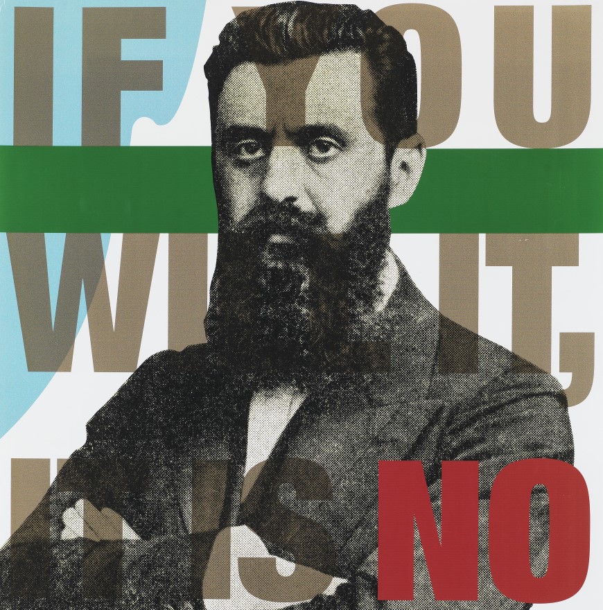
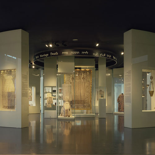
Navigating the Bible
Early Maps of the Holy Land from the Chinn Collection
-
 July 28 2015 - January 30 2016
 Curator: Ariel Tishby
-

 maps
maps
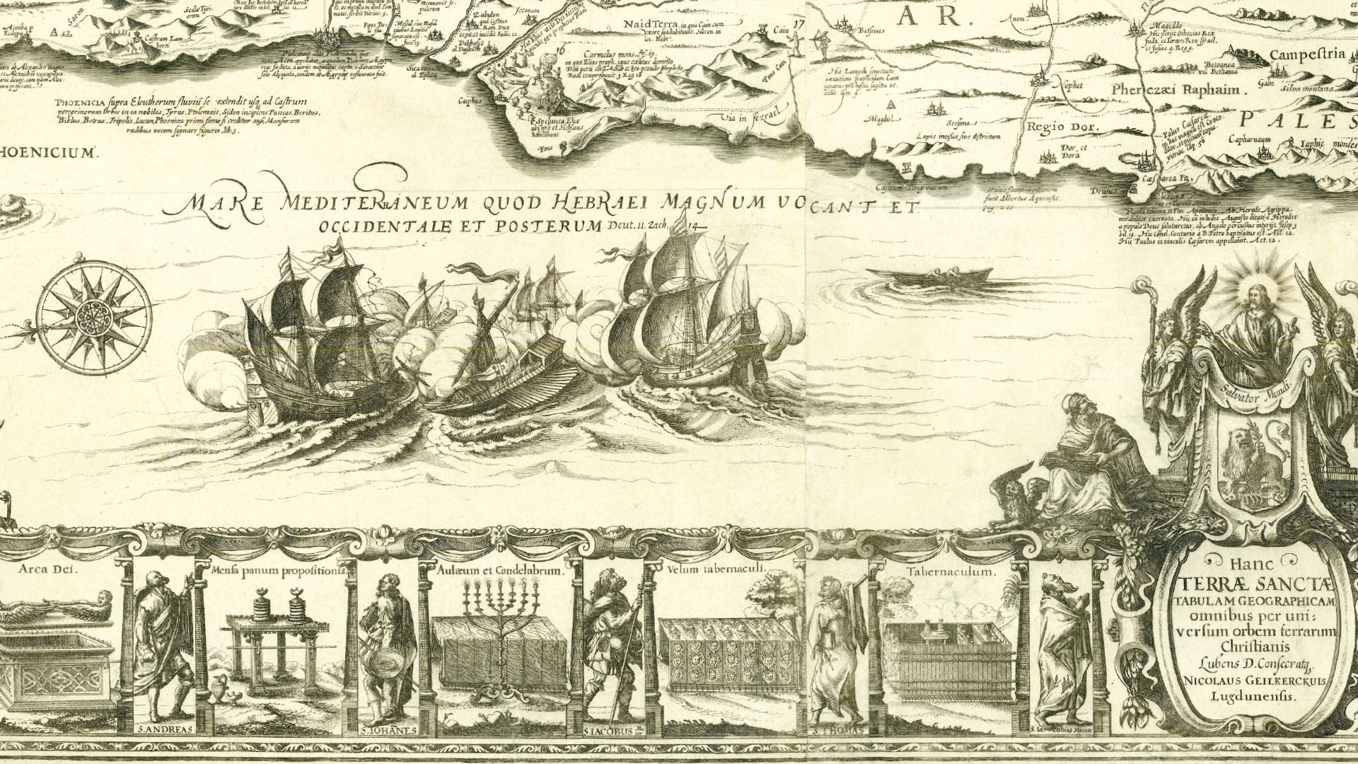
At the heart of this exhibition, which illuminates the deep interconnections between art and cartography, is a rare 17th-century wall-map from the Golden Age of Dutch cartography, the work of brothers Arnold and Nicolaes van Geelkercken. Exemplifying the concept of “Sacred Geography,” this map serves as a point of departure for genealogical research, examining the map’s predecessors as well as its successors, and for iconographical research, tracing the art displayed in the map and on its margins as well as the complex religious messages it conveys.
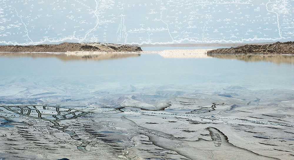
Such maps relied upon descriptions of the Holy Land found in biblical texts and other historical and literary sources. The Geelkercken map is based on Adrichom’s 1585 map, which greatly influenced the history of Holy Land mapping owing to the comprehensive research conducted by its maker. Adrichom’s map is also rooted in an older source – a 13th-century manuscript by the monk Burchard of Mount Sion. Though the monk’s original map did not survive, Adrichom relied upon other maps created from Buchard’s descriptions. The Geelkercken map – oriented eastward and divided among the Tribes of Israel – offers a rare balance between the Hebrew Bible and the New Testament, displaying hundreds of events, sites, symbols, and images, many of which are accompanied by Latin text and biblical references. These didactic tools were intended to take the viewers on a journey in their mind’s eye through the Holy Land, bringing them closer to the foundations of Christianity. The map features topographical errors characteristic of cartography of the area up until the late 18th century – such as the Kishon River that appears to connect the Sea of Galilee to the Mediterranean Sea, or the Ior and Dan springs that are depicted as sources of the Jordan River. A veritable treasure trove of 230 ancient maps of the Holy Land – many of which are very rare and of exceptional design – were donated over the last two years to the Israel Museum, significantly enriching the Prints and Drawings Department’s Norman Bier Section for Maps of the Holy Land. Most of the maps date from the time of the invention of printing (the last quarter of the 15th century) up to the middle of the 17th century. The gift of Sir Trevor and Lady Susan Chinn of London, these maps illustrate the collectors’ connoisseurship and refined taste. This exhibition is presented as a tribute in honor of Sir Trevor Chinn’s 80th birthday. * * * In the adjacent gallery, a series of works by Israeli artist Dorit Feldman is on display. Feldman’s works combine different layers of reality together with fragments of its depiction in antique maps, and are inherently linked to the original map in the center of the main exhibition and inspired by modern philosophical and literary texts. Arnold and Nicolaes van Geelkercken active 17th century A New Description of the Holy Land or the Promised Land Etching and engraving on 10 sheets, fourth state, printed by Frederick de Wit (Dutch, 1629/30–1706), Amsterdam, ca. 1670 Dorit Feldman Duality, 2011 Photograph; pigment injection printed on archival paper


 May 15
- May 08May 15May 15May 22May 29
 Apr 21Apr 24Apr 28May 05May 08May 12May 15May 19May 22May 26May 29
- May 08May 15May 22May 29
- May 08May 15May 22May 29
 Apr 24May 08May 15May 22May 29
 Apr 21Apr 24Apr 28May 05May 08May 15May 19May 22May 26May 29
 Apr 26May 02May 03May 09May 10May 16May 17May 23May 24May 30May 31
- May 03May 10May 17May 24May 31
 Apr 21Apr 28May 05May 12May 19May 26
 May 05May 12May 19May 26
 May 06May 13May 20May 27
- May 06May 13May 20May 27
 May 13May 20May 27
 Apr 22May 20Jun 19Jun 24
 May 21May 22